Jan. 14th - Chaco Canyon, NM
- bsv852
- Jan 15, 2022
- 3 min read

Updated: Jan 16, 2022

Chaco Canyon is one of the most ancient and impressive archaeoastronomical ruins in the American continent, with it being estimated that the first communities to settle the area established themselves around 200 CE (Taylor 50). The Great Houses that can be visited today, however, were established by the Anasazi around 850 CE.
The Anasazi were a complex and developed people who built these great fortified towns, with the largest one, Pueblo Bonito, having a half-moon shape, 650 rooms, a central courtyard, and 35 kivas, circular rooms “... built below ground level are believed to have been religious structures devoted to worship and ceremony” (Taylor 51). The kivas round shape is said to reflect the circle of sky always present overhead (Taylor 52).
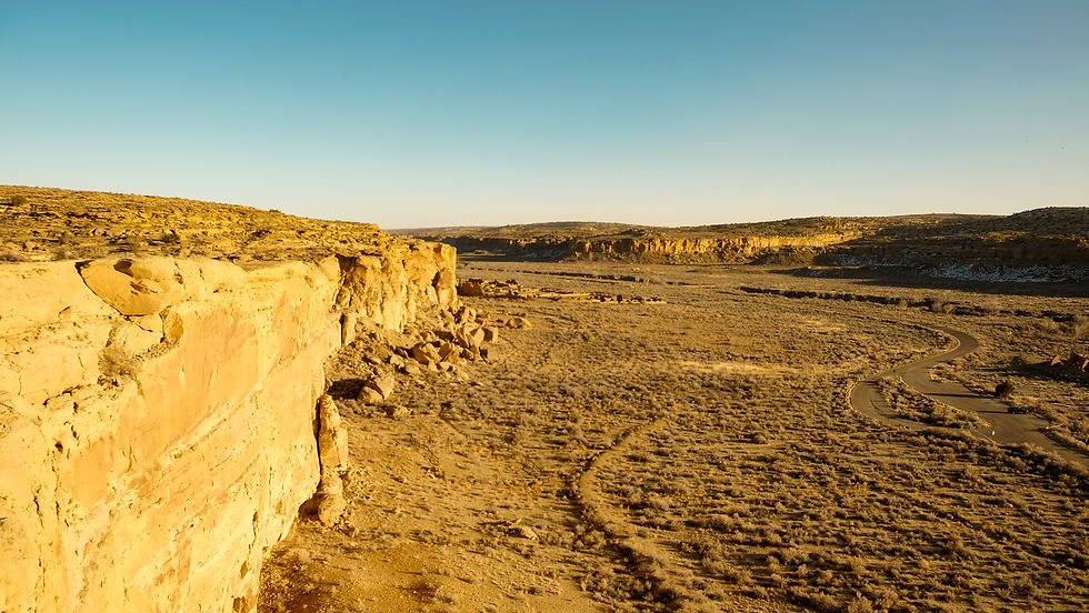
Within Chaco Canyon, there are nine Great Houses, and all of them are aligned in some way with the sun. Several of them, including Pueblo Alto and Tsin Kletzin, are aligned along a north/south axis. This orientation proved significant elsewhere, with the Canyon’s Great North Road, which refuses to deviate even for sheer cliff faces along its 34-mile stretch (Taylor 53). Several others, including the two largest Great Houses – Pueblo Bonito and Chetro Ketl – are aligned along an east/west axis, and orientation that lines up with equinox sunrises and sunsets.

Above: Pueblo Bonito from the top.

Above: Two of the larger kivas at Pueblo Bonito.

Above: The largest kiva at Pueblo Bonito.


Above: The steep, rocky 'staircase' to Pueblo Alto and the top of the mesa overlooking the rest on the Great Houses.

Above: Kin Kletso from the top.
Above: In the distance, Pueblo Bonito can be see.

Above: The staircase down to Kin Kletso.
Why is it that such a great civilization oriented all their cities and structures around the happenings of the sky? One point that was made clear to me in the book Talking Sky: Ojibwe Constellations as a Reflection of Life on the Land, is that Native Americans took careful observations of the sky for not only religious purposes, but also for very practical purposes. Being able to keep track of the time of year and predict when the seasons are due to change has not always as easy as checking your phone.
Knowing when the rains are due, when snow is coming, when first thaw will arrive are all vital information for farming communities, now as much as ever. In Chaco Canyon, notches in stone have been found to have alignments with pictographs that tell the observer when solstices and equinoxes will arrive – a powerful tool for being able to predict general weather and temperature trends – as these celestial events correspond with all four seasons.
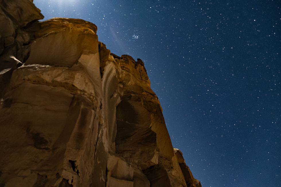
What is lost with the new, technological ways of knowing that such times of the year are coming, is the interaction between human and nature. What once required turning our eyes up to the sky, now only requires looking down at a phone. No peace is made in the process, no time to reflect, to sit in silence and think and watch. Instead, it seems much more likely that an email notification will distract you in the process of understanding how our planet is behaving and moving through the cosmos. We are on one great big ride through the universe, and if you don’t look up every now and then at a dark sky, you might miss it.
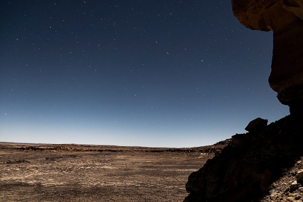
Miss it we did not, as Connor and I hiked to Fajada Butte – home to the famous Sun Dagger – just as twilight was setting in. The Sun Dagger, now having gone the way of wind and rain, used to show several solar alignments with mid-summer and -winter noon and both vernal and autumnal equinoxes (Taylor 54-55). Rays of sunlight would create a ‘dagger’ on either side of, or bisecting, one of two spiral shaped petroglyphs on the wall behind three immense sandstone slabs. When I asked at the visitor center if there were plans to restore the Sun Dagger alignments, I was told not, as there was strong resistance from the local Indigenous community. Their reasoning: All crumbles over time, including us, so there was no need to disturb the sacred butte.

Above: Fajada Butte is centered in the distance. Several different angles of it are shown below.


Above: The view down Chaco Canyon.


Comments